GDAL
A vertiable swiss-army knife for raster data, we leverage GDAL to perform a wide range of spatial transformations.
GIS expert development & design
Our extensive expertise in GIS application development lets us rapidly process and analyze your GIS data, allowing rapid decision making.
Streaming large volumes of GIS data? Aggregating data from field sensors? We design scaleable applications to consume and aggregate massive data!
Make informed decisions across large amounts of data by leveraging our experience with statistical analysis tools.
Looking to leverage new technologies? We provide comprehensive training in technologies such as PostgreSQL, PostGIS, GDAL, OGR, GeoServer and other tools.
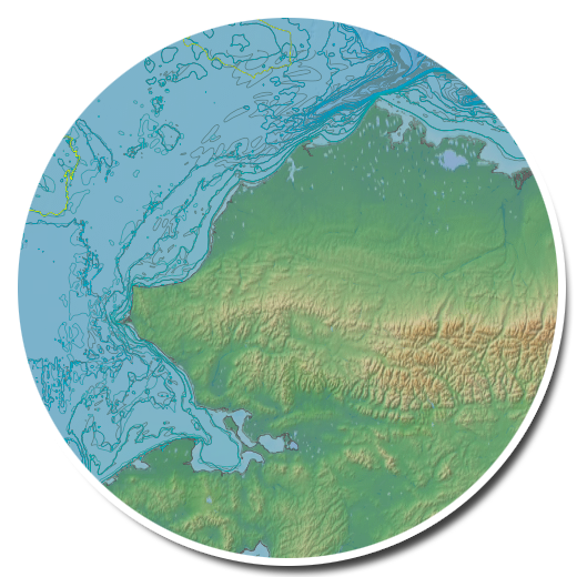
Want to see changes or trends with your data over time? We can do it - or teach you how - to make complex spatial-temporal data easy to understand and visualize.
Need to supercharge that GIS application? From data sharding to WMS tilecaching, we have the experience to propel your applications to the next level of performance.

Experts in the application of Open Source GIS data products.
A vertiable swiss-army knife for raster data, we leverage GDAL to perform a wide range of spatial transformations.
The GDAL analog for vector data, OGR lets us manage and support a wide range of complex vector data formats.
PostGIS provides spatial objects for the PostgreSQL database, allowing storage & query of information about location and mapping.
PostgreSQL is an object-relational database management system with an emphasis on extensibility and standards-compliance.
OpenLayers makes it easy to put a dynamic map in any web page.
Leaflet is a modern open-source JavaScript library for mobile-friendly interactive web maps.
GeoDjango is a world-class geographic Web framework, built atop Django, and leveraging tools like OGR and PostGIS.
Python is a widely used general-purpose, high-level programming language - our language of choice for many applications.
Shapely is a BSD-licensed Python package for manipulation and analysis of planar geometric objects.
MapServer is an Open Source geographic data rendering engine, making it easy to transform and visualize GIS data.
GeoServer is an Open Source data visualization tool with a robust API.
OpenStreetMap is just one of numerous "base" maps we can render, and use as a geographic data reference.
A group of proven, capable technology architects, developers, and trainers with over a decade of experience leading private and government entities in the design, development, and implementation of cutting edge services.
We develop responsive applications that often (but not always) are focused on Open Source GIS technologies. Our work products lend themselves to openness and interoperability, and support the continued growth and success of our customers.
Our staff have been designing, developing, deploying, and training others to use IT solutions that promote openness and interoperability. Our experience ranges from developing Common Operational Pictures, to noise mitigation, to transportation planning tools. We advise some of the worlds largest media companies in scalability and performance, and have deployed large scale highly-available applications within the cloud.
We have a large domain of scaleable web application and GIS experience, as evidenced in the experience section below.
We worked with the Southern California Coastal Water Research Project to develop Beachwatch - a data aggregation and reporting tool for analytical chemistry data relating to Southern California beaches.
GridGeo staff trained MBARI staff in the tools and technologies behind, and then helped to develop the prototype components for STOQS - a tool for Undersea Autonomous Vehicle (UAV) data collection and management, with an advanced web-based user interface for data filtering and analysis.
GridGeo staff trains, helps to maintain, and develops portions of the Minneapolis Airport Commission's Noise and Operations Monitoring System (MACNOMS) - a complex system to aggregate and analyze realtime air traffic and noise data for one of the worlds largest airports.
We perform architecture, develop, and provide leadership to a team of developers of the Federal Common Operational Picture (COP) for the Deepwater Horizon Oil Spill (and others.) ERMA integrates with systems from Homeland Security, the EPA, and USCG and provides a comprehensive REST API, allowing third party applications to integrate directly with ERMA for data management
The US Federal Highway Administration's Non-Motorized Transportation Toolkit (NMTK) is a GridGeo developed tool for arbitrary import of spatial data in a variety of formats, providing data transformation and analysis services against transportation models. NMTK provides a RESTful API using AngularJS and Django allowing a distributed data analysis model.